Ottawa County Historical Atlas and Gazetteer
Book
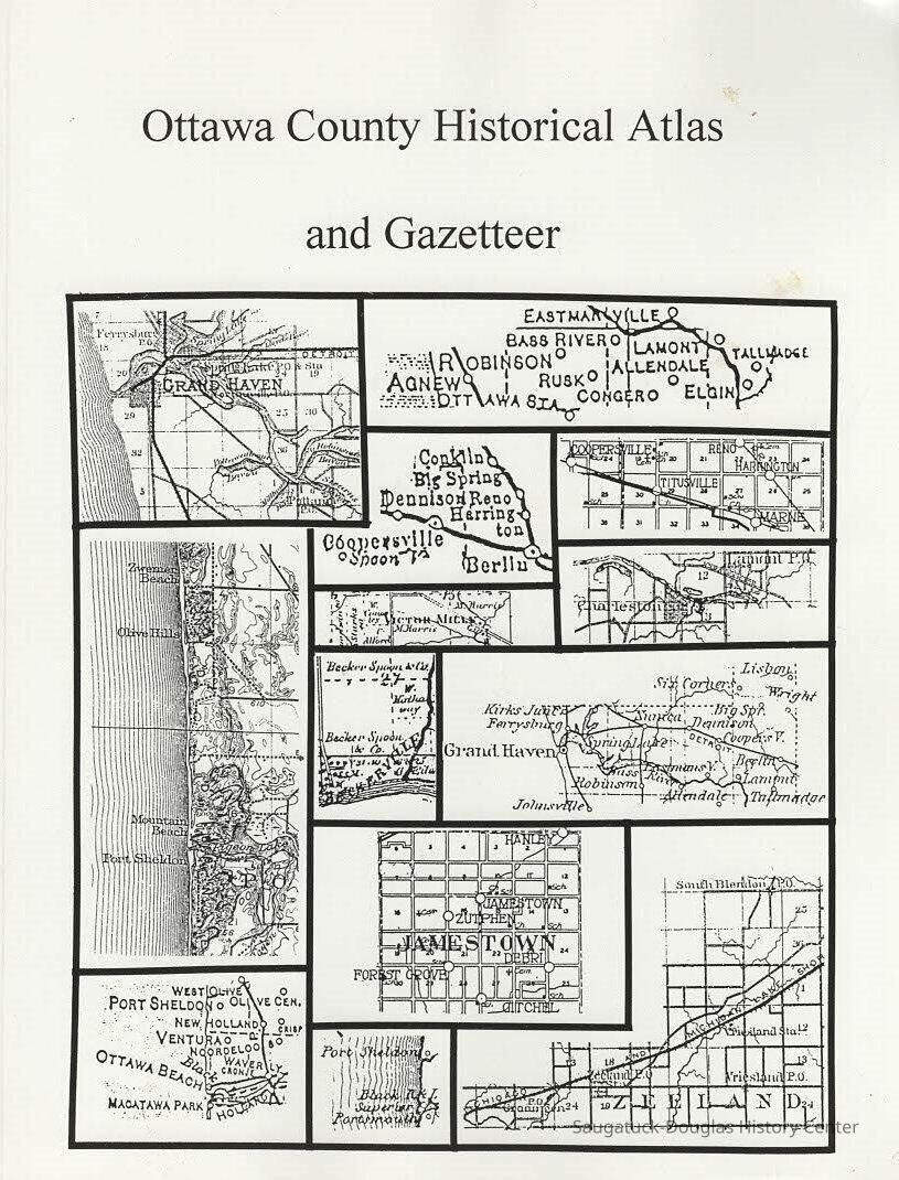
All you ever wanted to know about Ottawa County, Michigan, gathered into one readable volume. It includes historical maps beginning in 1755 through the building of the Inteerstate Highway system. The formation of county boundries and the townships is covered on detail, and the frequent controversy about the county seat. Railroads, including steam, electric and horse-drawn, are covered in one section.
1 atlas (192 p.) : maps ; 28 cm.
2019.35.114
Books
Slusar, Vern
2019.35
GazetteerMapsOttawa CountyRivers and Lakesrailroadscounty seat1. Real Property Ottawa County, maps2 Ottawa County (Mich)
Lane, Kit 1939-2024
Pavilion Press
Douglas
Michigan
United States of America
North America
1999
977.415 LAN
187770346X
Copy 1 and copy 2
Library
Good
Lane, Kit 1939-2024
Status: OK Status By: Vern Slusar Status Date: 2020-09-02
09/02/2020
07/23/2023