Maps
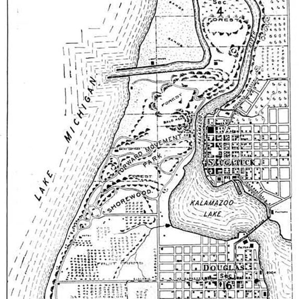
The Saugatuck-Douglas History Center owns a large collection of maps of our communities, our county, and our state. We have several historic plat maps that show who owned land at different points in time. There are also tourist maps, insurance maps, and more. This page also contains links to useful outside map resources.
From Our Collection
A selection of the many maps listed on the CatalogIt Hub are listed below. Some can be viewed online, others are only available for viewing in the Archives.
NOTE: Clicking a link below will open a new window; the “Go Back” button there will not return you to this page.
- Allegan County Historical Atlas and Gazetteer (Kit Lane, 1998)
- Plat maps – 1913 | 1920 | 1962 | 1984 |
- Fire Insurance Maps – 1900 | 1910 | 1916 | 1928
- 1844 – Mouth of the Kalamazoo River
- 1860 – Map of Allegan County
- 1873 – Atlas of Allegan County – Douglas | Singapore
- 1895 – Atlas of Allegan County
- 1902 – Ann Arbor Railroad & Steamship Lines
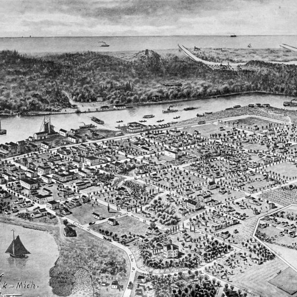
- 1907 – Birdseye Drawing of Saugatuck
- 1925 – Saugatuck Harbor map
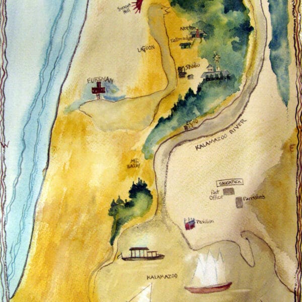
- 1930 – An Intimate Map of Saugatuck
- 1934 – Allegan County Road Map
- 1956 – Allegan County Map
- 1950s – Vacationland Map
- 1976 – Saugatuck, Douglas, Saugatuck Twp.
- 1989 – Walking Tour of Saugatuck
- 1998 – Historic Walking Tour Map of Douglas
- 2017 – Saugatuck Harbor (James Faasen)


